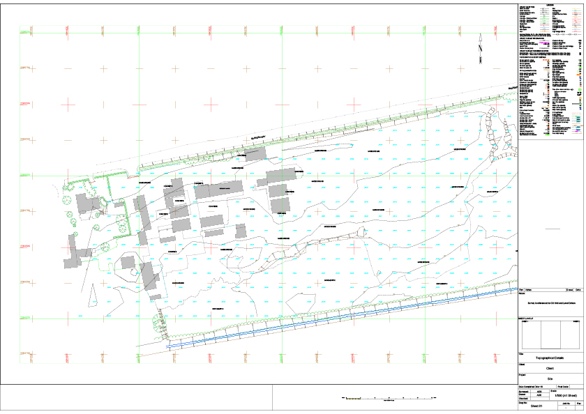
The use of UAVs allow the collection of data much quicker than by using traditional methods alone. Detail on the images can then be digitised and used to create maps in 2D and presented as a topographic survey. The topographical plan below was produced form imagery alone though ground control points were added prior to the flight in order to give accuracy and to orientate the survey to Ordnance Survey coordinates and height datum.
