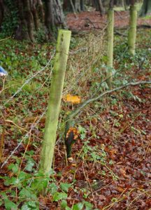
Boundary disputes often occur due to a lack of clarity in title deeds/plans and the reliance on Land Registry records which only show general boundaries between properties.
A legal boundary as described by the Land Registry is “an exact line having no thickness or width” and “rarely identified with any precision either on the ground or in conveyances or transfers and is not shown on Ordnance Survey mapping”
As land surveyors in Northampton covering East Midlands, London, Northern Home Counties and the East of England, A.D.S. & Associates can accurately map and measure the features on a property to provide a clear basis on which further investigations or decisions can be made in a boundary dispute. By analysing the often-confusing title deeds and associated legal documentation as well as gathering any other historical information we can usually determine the location of a legal boundary.
It has been the case that when questions arise as to the location of a boundary, some early action in determining its location prevents painful and costly disputes.
A.D.S. & Associates offer a range of boundary-related services which include:
- Boundary surveying/recording and area calculations
- Land Registry compliant plans
- Plans and documentation for boundary agreements and/or determined boundaries
- Preparation of CPR 35 compliant reports for legal action through the courts
- Acting as expert witness in boundary matters
- Photogrammetric surveys
Typical boundary dispute assistance costs (ex VAT):
- Initial advice by phone (30 mins – 1hr) – FREE
- Site advisory visit – from £120 + travel costs
- Measured survey – from £300 depending on the size and complexity of the site
- Report compliant to CPR 35 – From £500