In this archaeology case study, the Client, a charitable trust, preserve buildings and land associated with a former Cistercian abbey. An adjacent field has numerous historical ground features that have been mapped to some extent in the past though never fully investigated. There are also several farm buildings that require recording prior to conservation works.
A.D.S. & Associates were invited to gather imagery in order to record the buildings and ground features as well as carrying out some preliminary interpretation into the fieldworks.
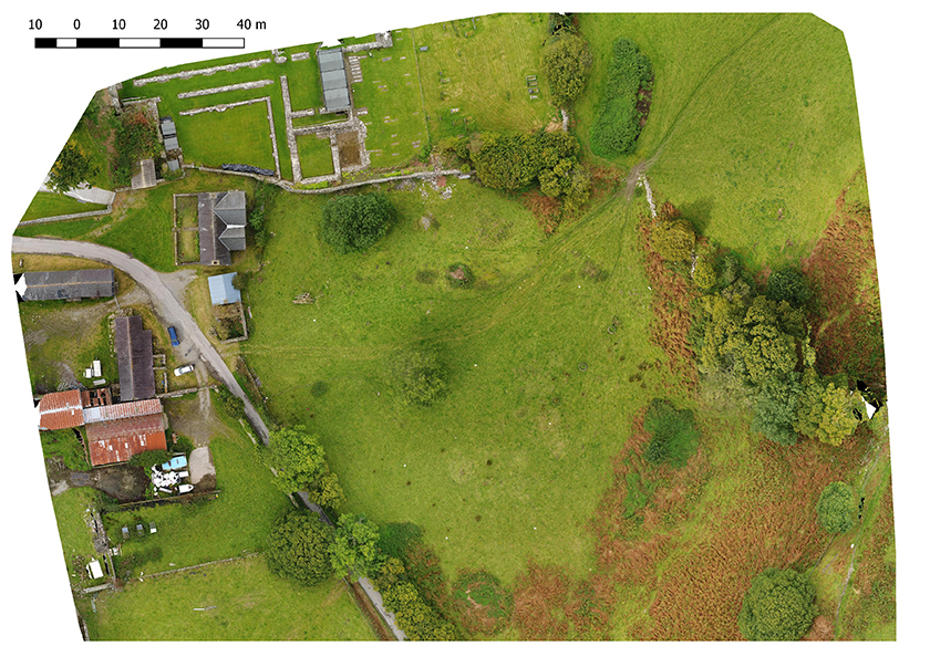
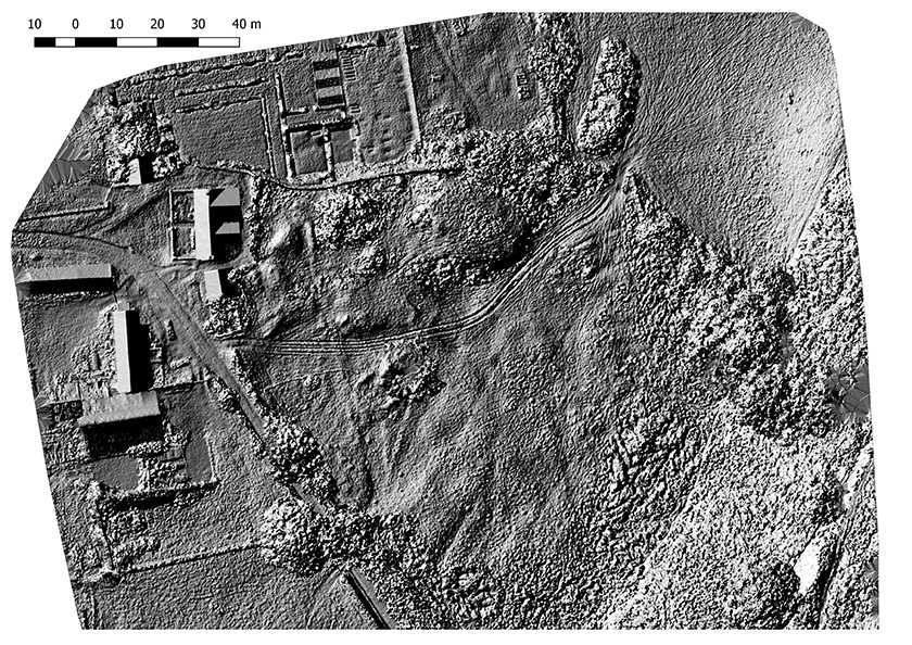
An aerial survey of the field was carried out and an orthomosaic was produced as well as a digital surface model (DSM). The model was manipulated with various survey and Geographical Information Systems (GIS) software packages and images were created. As well as being able to map the known features and give them real-world coordinates the imagery revealed some previously unknown anomalies.
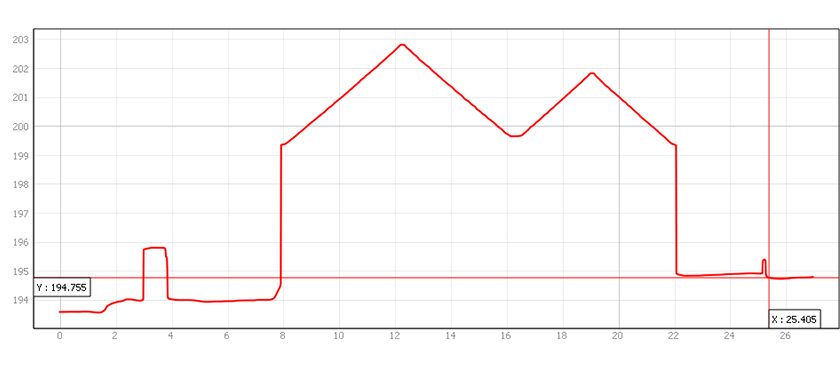
Having now mapped the area to ordnance survey coordinates selected features can be plotted on the ground to mark out areas for excavation and measurements/cross sections can made be for further analysis and interpretation.
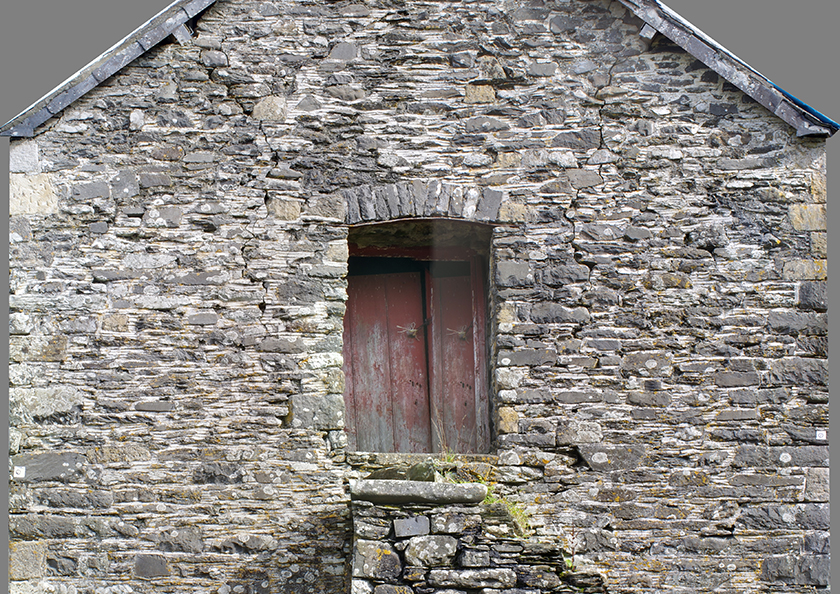
Orthophotos of the facades were created from a series of photographs taken at ground level with a high-resolution camera to provide images without distortion for future analysis and measurement.