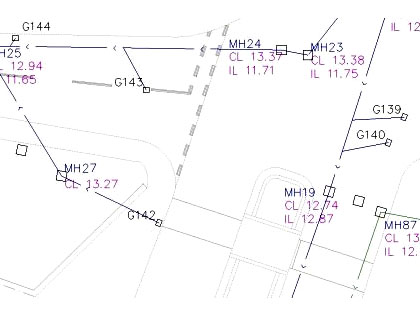
Surveys of utilities are offered by A.D.S. & Associates to complement a topographical survey or site plan or even to meet a specific requirement. A utility survey can provide a diagrammatic record of below ground assets. Using a number of methods such as CCTV, electromagnetic detection and/or ground penetrating radar, the location and condition of services may be recorded.

For commercial clients with large utility networks, the survey data can be provided in a format that is compatible with geographic information systems (GIS) such as HADDMS (Highways Agency Drainage Data Management System).